SERIES M-400 · Industrial RTK Multirotor
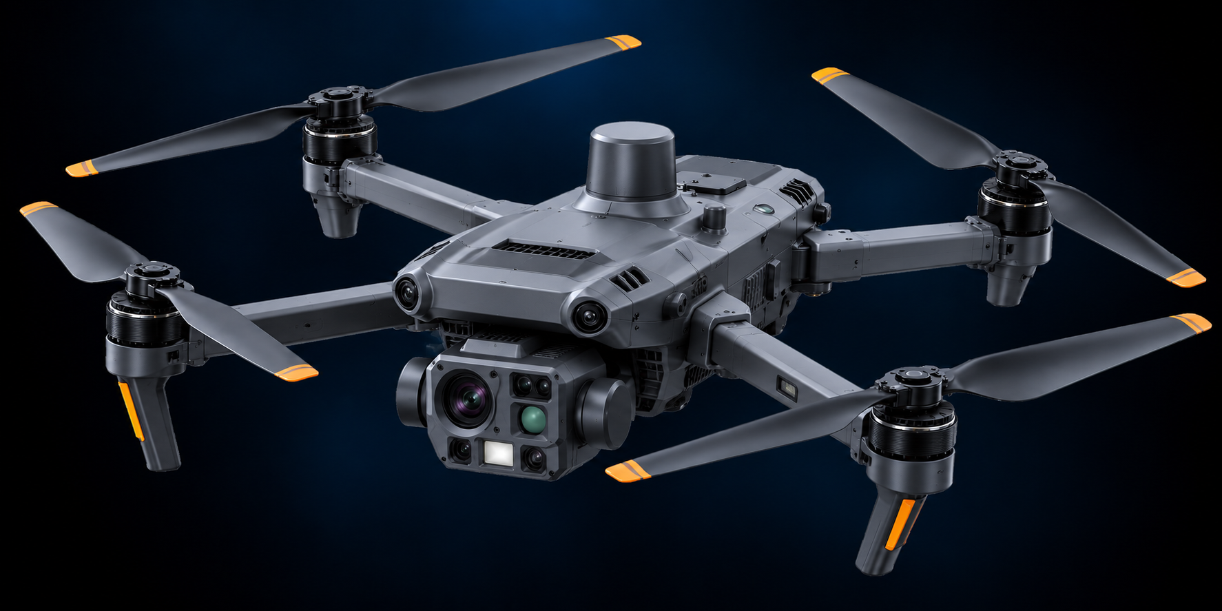
Maverick 400 RTK
Industrial UAV with RTK centimetre-level positioning, LiDAR-enabled obstacle avoidance and modular survey payloads.
PLATFORM OVERVIEW
Technical configuration
Available payloads described in the catalogue include a 24.3 MP mapping sensor, RGB day sensor, EO/IR dual sensor and EO/IR radiometric 4K options.
PositioningRTK, centimetre-level accuracy
Endurance50 min True Endurance™
Obstacle avoidanceLiDAR-enabled obstacle avoidance for GPS-challenged environments
Payload systemModular quick-swap: cameras, LiDAR, GPR, magnetometer, survey sensors
OutputsDetailed DEM / DSM generation for surveying &. volumetrics
APPLICATIONS
Application profiles
Surveying
Mining
Infrastructure
Energy
MISSION CONFIGURATION
Define the mission configuration.
Talk to AGI about payload, sensing, integration and deployment requirements.